West Highland Way
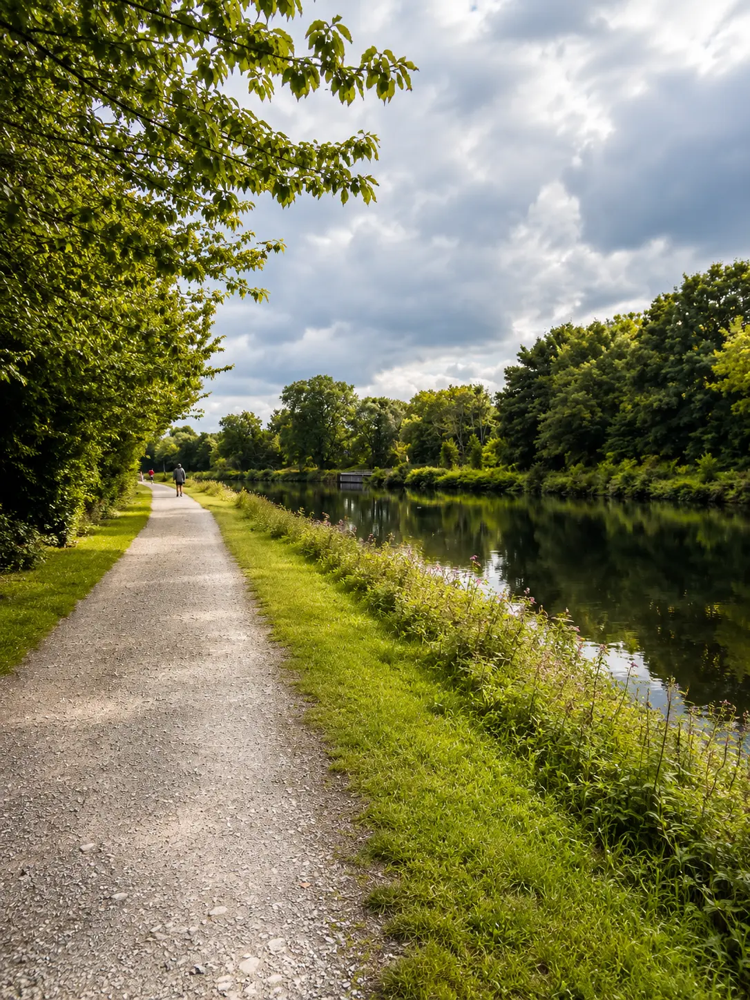
96 miles from Milngavie, on the edge of Glasgow, to Fort William, usually walked over 6 to 8 days. We collect from our designated transfer points along the route.
Walking the route, stage by stage
Milngavie to Drymen
12 miles, easy
A gentle opening through farmland, the Carbeth huts and Garadhban Forest. Flat underfoot and a comfortable first day.
Drymen to Rowardennan
15 miles, moderate
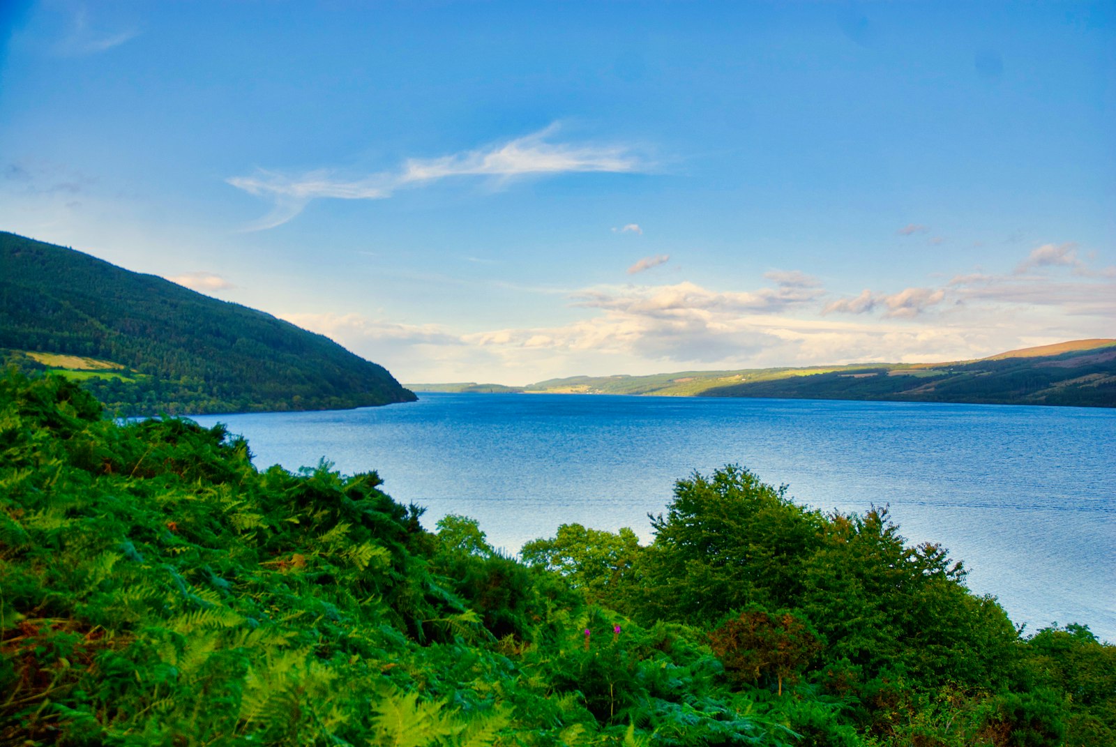
Over Conic Hill for the first big view of Loch Lomond, then along the wooded eastern shore to Rowardennan.
Rowardennan to Inverarnan
14 miles, hard
The rockiest section of the trail. Tree roots, boulders and short scrambles above the loch. Slow going, but memorable.
Inverarnan to Tyndrum
12 miles, moderate
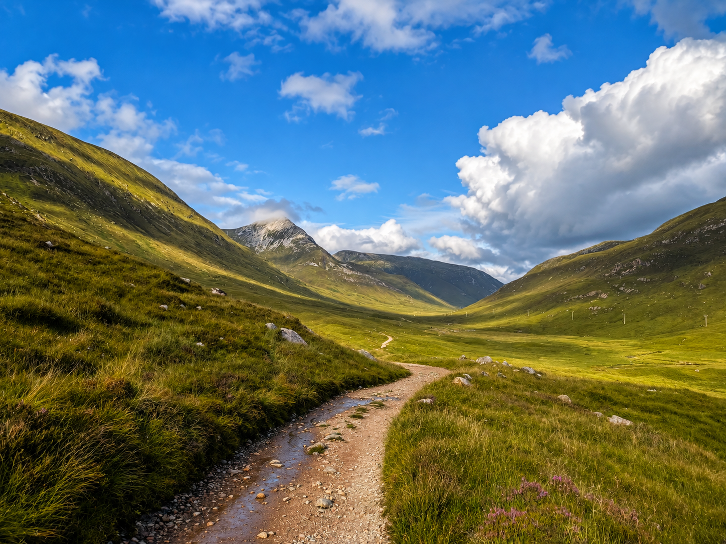
Strath Fillan opens out into wide glens, old drove roads and the ruins of St Fillan's Priory.
Tyndrum to Kingshouse
19 miles, moderate
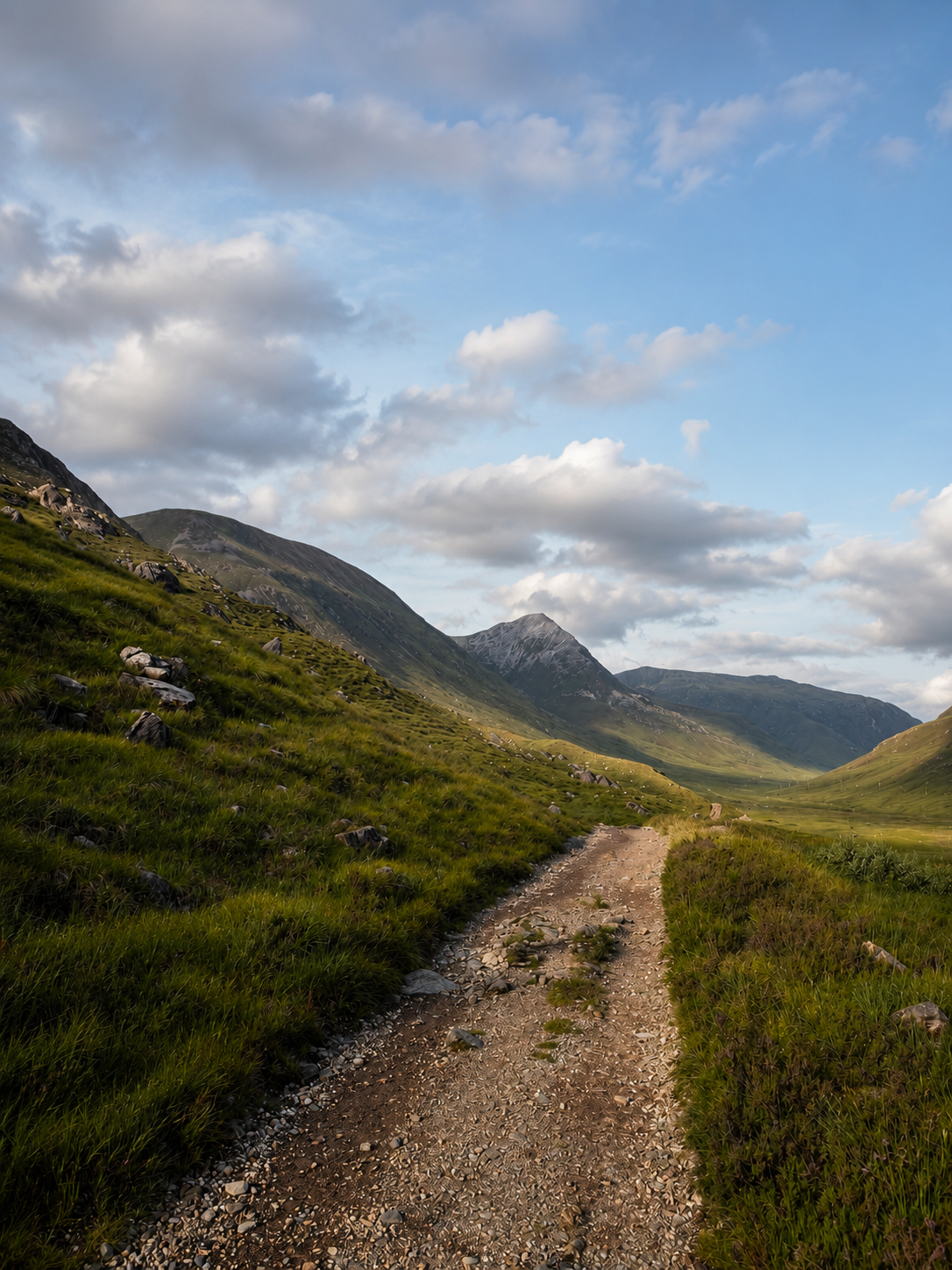
Across the vast emptiness of Rannoch Moor, with Buachaille Etive Mòr standing over the entrance to Glencoe.
Kingshouse to Fort William
24 miles, hard
The Devil's Staircase climbs to the highest point of the Way, then drops to Kinlochleven and on to Fort William beneath Ben Nevis.
Pickup and drop-off points
- Milngavie
- Drymen
- Balmaha
- Rowardennan
- Inverarnan
- Crianlarich
- Tyndrum
- Bridge of Orchy / Inveroran
- Kingshouse / Glencoe
- Kinlochleven
- Fort William